Arrive at the crew room fully briefed
Airport and enroute weather, easy to read Notams, airport diagrams and intel, plus essential pilot tools. All in your pocket.


Airport and enroute weather, easy to read Notams, airport diagrams and intel, plus essential pilot tools. All in your pocket.
Designed by pilots, for pilots, FLYR Preflight is packed with all you need to prepare for your flight.
We know what you need to know because we do it everyday.

Build Clips with weather and runway diagrams to brief all the airports along your route . Save and re-use for future flights.

Station, area and enroute weather in one screen. The latest Metars/Tafs for each airport and its alternates, plus Sig Wx/wind charts.

Clear, intelligently organised Notams and Snowtams, human-readable and plotted for you on a map. Filter and sort how you like.

Intuitive runway diagrams to visualise airport layouts. Live winds with timeline controls to see how conditions change.

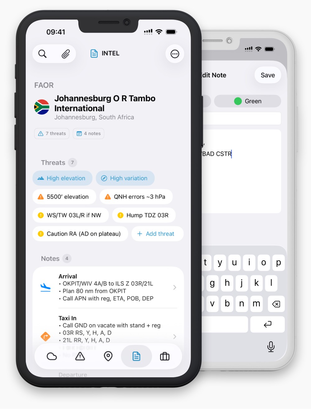
System-generated and user threats to help focus your briefs. Plus add notes relevant to you and your operation.

Essential pilot tools, space weather and daily NAT briefing, plus a handy quick reference library to make life a little easier.

Quickly build your weather picture with airport, area and enroute weather in one screen. Check the latest Metars and Tafs, with significant weather and current approach/flight category highlighted.
Use the area map to compare nearby alternates, colour-coded by weather. Then get the big picture enroute with Sig Wx and wind/temp chart slideshows by time and level.
Skip to what's relevant with Notams categorised by importance, inactive Notams hidden, human-readable Q-code titles, and quick filters so you can hide the trivia.
The de-cluttered report format shows only the most pertinent information, with properly-formatted local times, key details highlighted, and coordinates plotted on a satellite map.


See the airport before you arrive. Check the satellite airport map with runways plotted, clearly highlighting orientations, dimensions and longest runways. See all pertinent airport info in one place.
An animated wind overlay, wind sock and wind components for each runway end let you quickly assess conditions. Tab through the wind timeline to see how conditions change throughout the day.
FLYR identifies threats automatically based on the latest weather and airport data. Add your own threats from experience.
Enhance your situational awareness by adding notes relevant to you and your operation, so every airport feels familiar.

Prepare for polar/oceanic ops with space weather and a daily NAT briefing showing the latest tracks, and NTM with tracks/distances calculated and key details highlighted.
Save time in the cockpit with a collection of essential pilot calculators, decoders and converters, plus a handy quick-reference library.